Melting at Thwaites grounding zone and its control on sea level (MELT)
MELT is an ice-based project to understand how warm waters are affecting the Thwaites Glacier at the grounding line – the point where the glacier goes afloat to become ice shelf. This will allow the glacier’s potential sea-level contribution to be more accurately predicted.
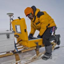
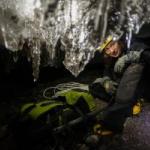
Hot water drilling will be used to make access holes through the glacier to monitor the ice column and the underlying water. Icefin, a state-of-the-art remotely-operated vehicle containing instruments such as conductivity-temperature-depth (CTD) sensors, an acoustic Doppler current profiler, a camera, a dissolved oxygen sensor and a multi-beam echosounder, will be deployed via the boreholes to examine the waters beneath the ice shelf. Ocean moorings will be used to monitor the ocean conditions for a year or more and ground-based phase-sensitive radar (ApRES) will monitor the basal melt rate. The project will also use repeated airborne radar flights to study the way the ice flows in this area, and seismic surveys to study the ocean floor beneath the ice shelf.
Data gathered in the field will enhance our understanding of how ocean conditions are affecting the melt rate of Thwaites Glacier. When this is combined with ice sheet models it will allow the glacier’s potential sea-level contribution to be more accurately predicted.
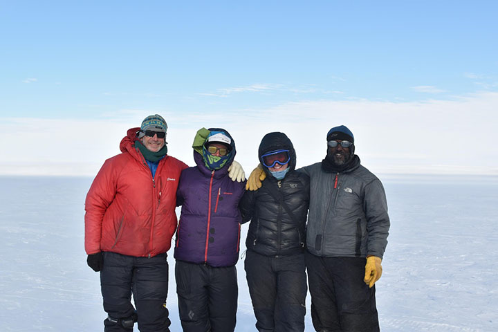
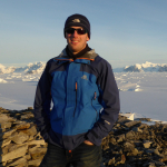
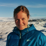
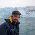
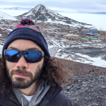
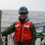
Kiya Riverman, a postdoctoral scholar at the University of Oregon studying glacial dynamics and ice-ocean interactions along the Antarctic Peninsula, and Sridhar Anandakrishnan, glaciologist at Penn State University, deployed to Antarctica in December 2018 as part of the MELT research team.

Principal Investigators

Co-Investigators


Team Members


Blog Posts
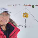
MELT Team at WAIS Divide with Icefin robotic underwater vehicle
Scientists from the MELT project are in Antarctica this field season. The team aims to use autonomous sensors, vehicles (including Icefin), radar, and moorings to monitor the Thwaites ice shelf and grounding line. The team keeps a blog about the Icefin autonomous underwater vehicle: a small, long-range, deep-water, under-ice, robotic oceanographer.
Instrument Highlight: Phase-sensitive radar (ApRES), Filchner Ice Shelf
Research teams use phase-sensitive radars for determining ice shelf basal melt rates. Data is used to enhance climate models.